Planning talking points: calming the waters
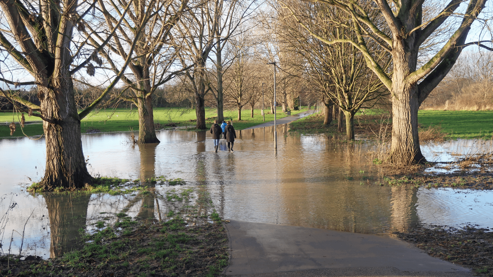
2024 had a wet start, with flood alerts issued for the rivers Chelmer, Wid and Can in January to March. Fine if you're a duck; terrible if you live in one of the thousands of homes across the UK that are flooded every year, costing a total £1,400 million in damage annually.
Prof Trevor Hoey, a Professor of River Science at Brunel University London and director of the Centre for Flood Risk and Resilience, said in January:
““On a global scale, the UK is not as vulnerable to flooding as many other parts of the world, and we do have resources to invest in flood protection. However, the UK is at risk of flooding because we are located beside a large ocean and are always going to get a lot of rain-bearing weather systems coming our way. Periodically, as over the past few months, there will be sequences of storms and prolonged rain.
"On top of this, we are living in an era of climate change, and there is evidence that things are getting worse as rainfall totals increase and storms become more frequent."
Seeing increased flooding and warnings like Professor Hoey's in the news can feel worrying, particularly with everything else happening in the world right now. However, the course of the future can be changed – both by addressing the causes of climate change and through careful city planning.
We can build responsibly
In central Chelmsford, the main rivers associated with flooding are the Chelmer, Wid and Can. But rivers aren't the only thing city planners need to think about when it comes to excess water. Built surfaces, like paths and roads, don't absorb water like soil, so they disrupt the way rainfall would naturally soak in and enter rivers and streams. Surface flooding can happen far from watercourses, when sudden severe deluges overwhelm smaller watercourses and the drain systems beneath our streets. There is also a risk of tidal flooding around South Woodham Ferrers from the River Crouch.
Of course, as long as people need homes, hospitals and schools, some building is inevitable. The UK, like other European countries, is in the grip of a housing crisis. The factors contributing to this are complex, but it can be eased by creating more homes, especially more truly affordable homes, in high-demand areas like Chelmsford. However, it's important that these homes are decent and are in the right places.
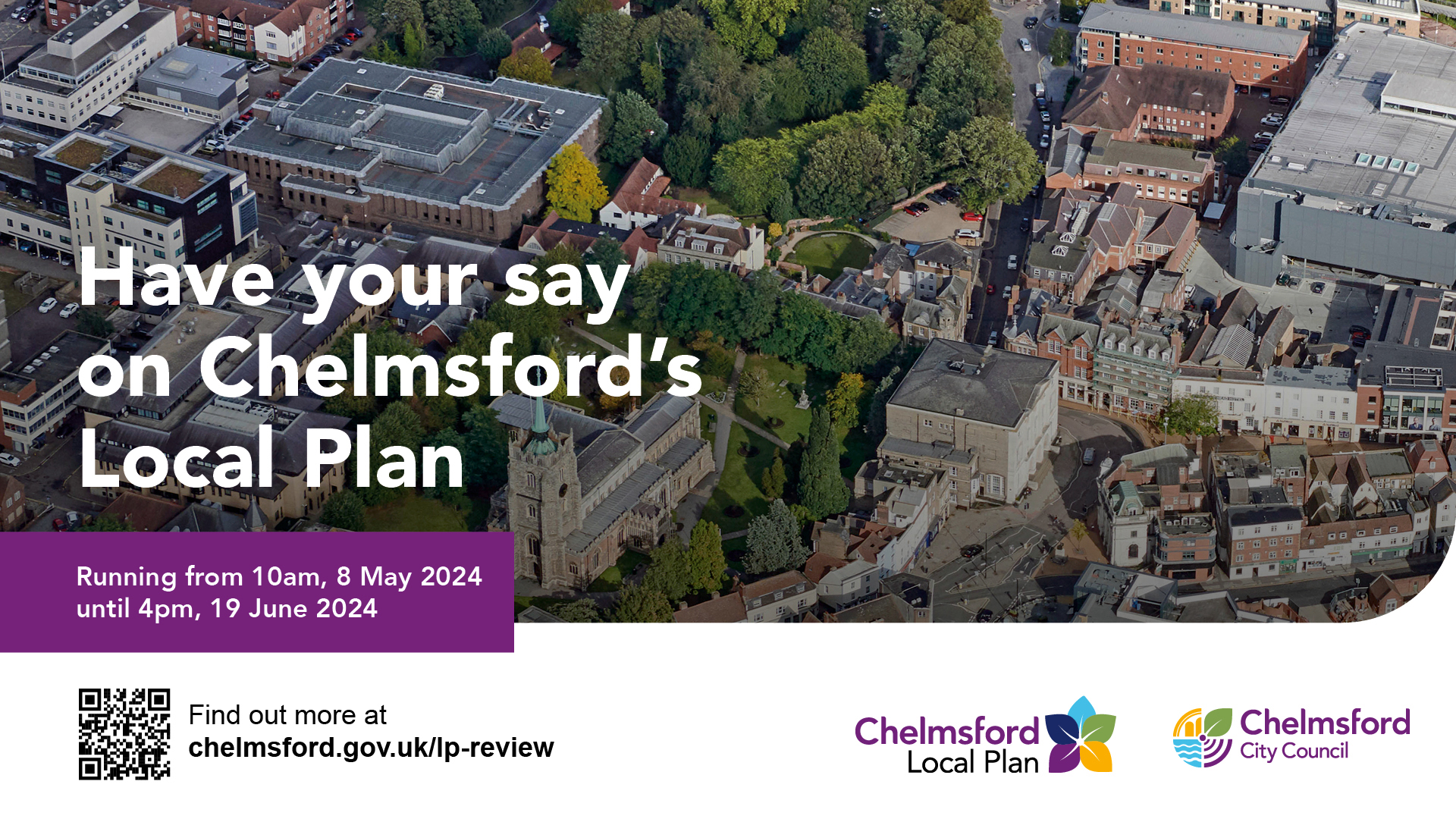
In May 2024, the city council launched the second part of its consultation on Chelmsford’s next Local Plan, which sets out areas where certain forms of development may be permitted to take place. Without this Local Plan, development would still happen, but local people would be less able to influence where homes are built, and it would be harder to require developers to include things like schools.
As part of the work to create the next Local Plan, the council prepares a Strategic Flood Risk Assessment. This helps it decide which sites to put forward to residents and stakeholders in the plan as potential development sites. The document isn't static - it gets updated periodically, because even apart from climate change, our knowledge improves, and the way water interacts with the land is constantly changing.
Putting the right measures in place
Whenever someone applies to build a development in areas at higher risk of flooding or any large development regardless of its location, the council requires them to demonstrate that the site is safe from all flooding and does not worsen flood risk elsewhere. Simply moving surface water away from the area isn't the answer; that surface water has to go somewhere, and that shouldn't be someone else's community or an important piece of infrastructure. It needs to go where it won’t do any harm, and ideally where it may even be beneficial.
Getting permission to build means demonstrating to planning officials, and consultees like the Environment Agency, that you've put the right measures in place to deal with any impact your proposed development has on flood risk. But what exactly is a flood mitigation? You've probably seen more of them around Chelmsford than you might think.
Floodplains
A floodplain is an expanse of land which is meant to take the impact of flooding so that streets and buildings don't have to. When rivers flood, these areas hold and store the water, which drains away as water levels drop again. This mitigation is mostly intended to deal with river flooding. Many pieces of land close to a river may not be classified as floodplains, and humans have been building close to riverbanks for centuries by understanding the land, carefully choosing where they build and putting in mitigations to make the risk much smaller.
In planning terminology, ‘functional floodplains’ are specific areas of land which are either designed to flood, or which have a 5% chance or more of naturally flooding each year. This is a high-risk flood zone, so there are lots of restrictions on new development, which is why decisions about these zones involve extensive research, surveying and consultation with experts to get the right mitigation. Most development sites in the proposed Local Plan are low flood risk. A few, like Chelmer Waterside in Chelmsford City Centre, are in higher-risk areas, and extra mitigations will be carried out to ensure they don’t flood and flood risk is not worsened elsewhere. The new site of the gas pressure reduction system that's currently at Chelmer Waterside, similarly, has had extensive work carried out to minimise the risk.
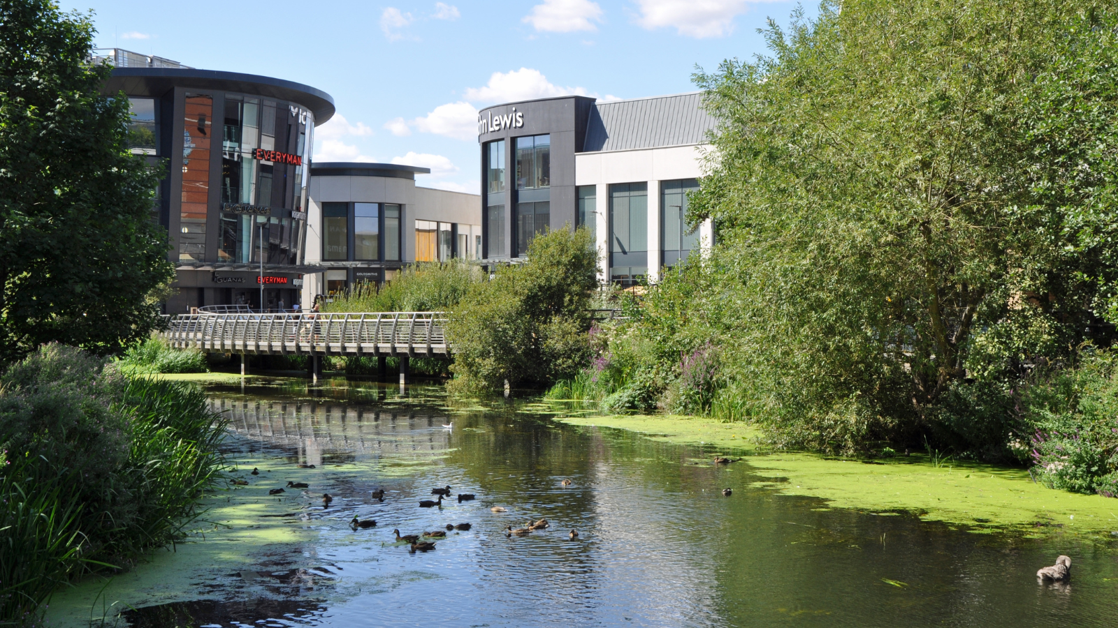
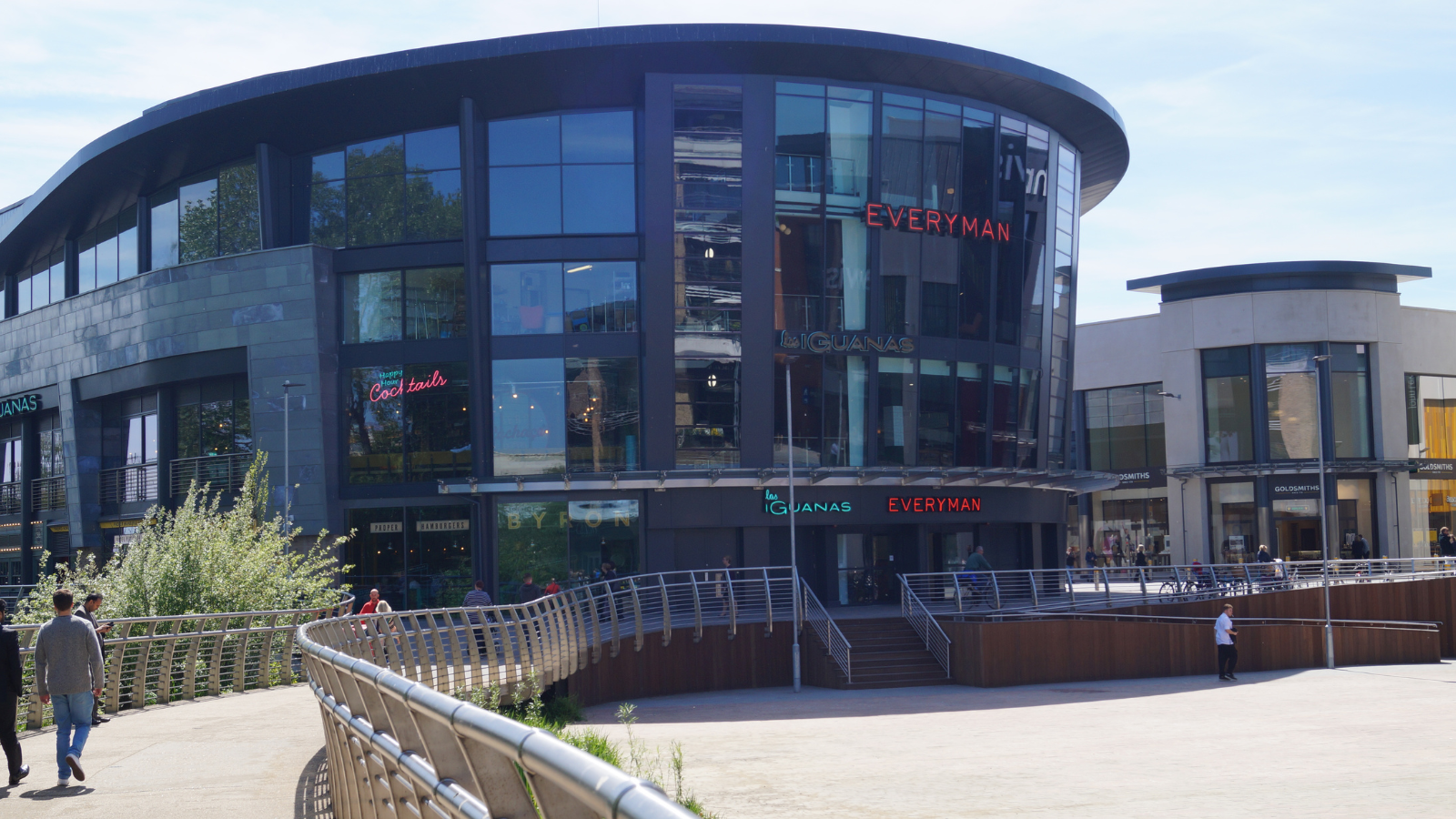
A floodplain can be big, or tiny. You may have seen the Bond Street Bowl (the amphitheatre near John Lewis) take on water when the river rises. This is because it's designed primarily as a mini floodplain, which serves a double purpose in the summer as a seating and performance space.
Balancing ponds
These ponds collect surface water, storing it and slowly releasing it into the ground or the drainage system. They're very effective during long or heavy rainfall, stopping excess water from pooling where it isn't wanted. There's one at Beaulieu and you will see these at most larger developments. Maintenance is important both to retain purpose to store water and its value as a local wildlife habitat.

Swales
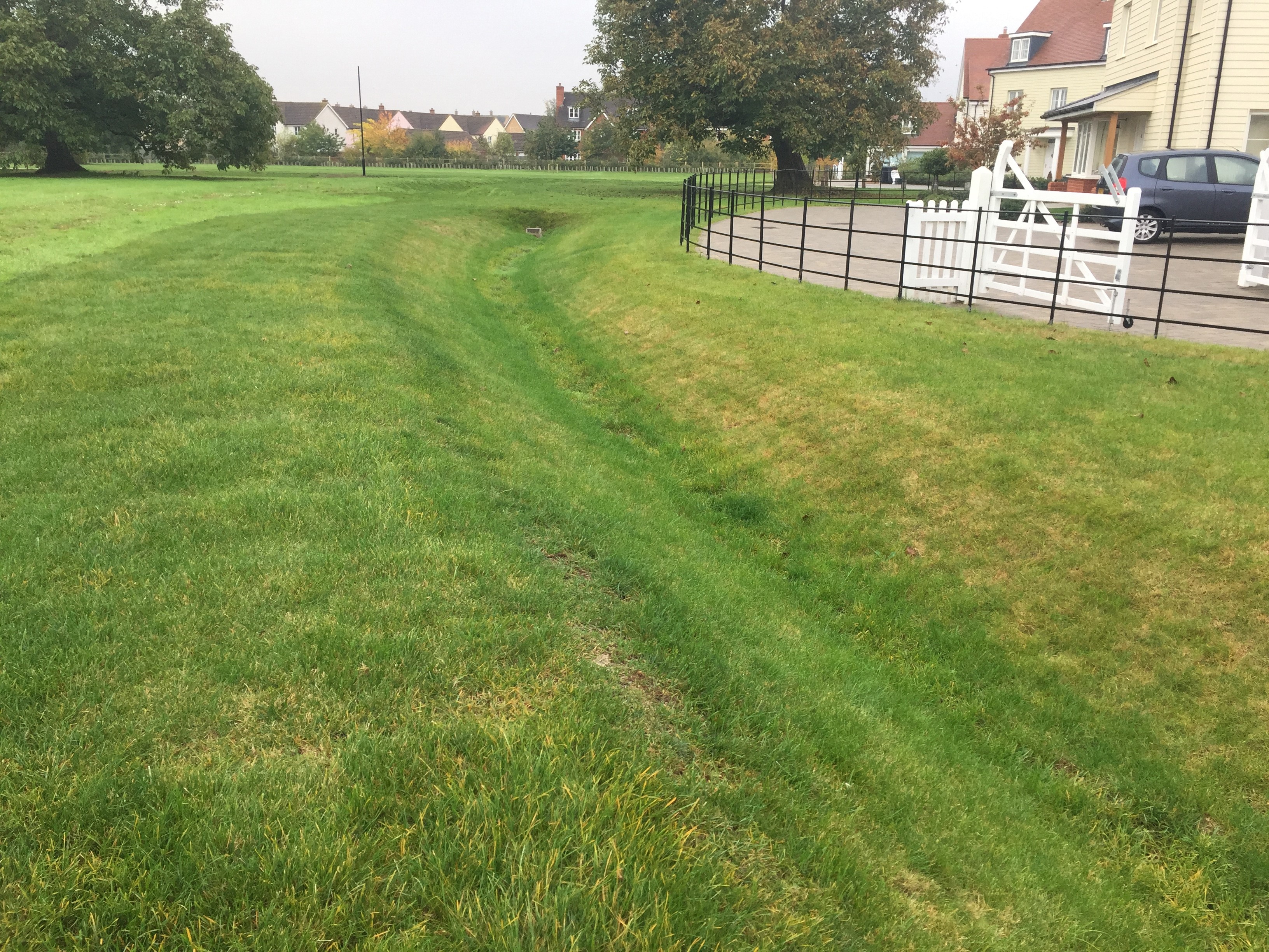
As well as being the name of a longstanding Chelmsford retail market stall, swales are shallow channels with plants growing in them, often seen in verges and public spaces. As well as looking attractive, they are designed to mimic natural water processes, rather than placing water into below ground pipes. They can store water for short periods and can carry water that runs off streets and fields to the wider drainage system. As these are open, wildflowers and grasses can be added to them, creating habitats for wildlife. One advantage of a swale is that the plants trap sediment and pollution, which can then easily be seen and dealt with. Like balancing ponds, they need to be looked after. If we take Beaulieu as an example again, you can see a swale there at Home Field.
Rills and channels
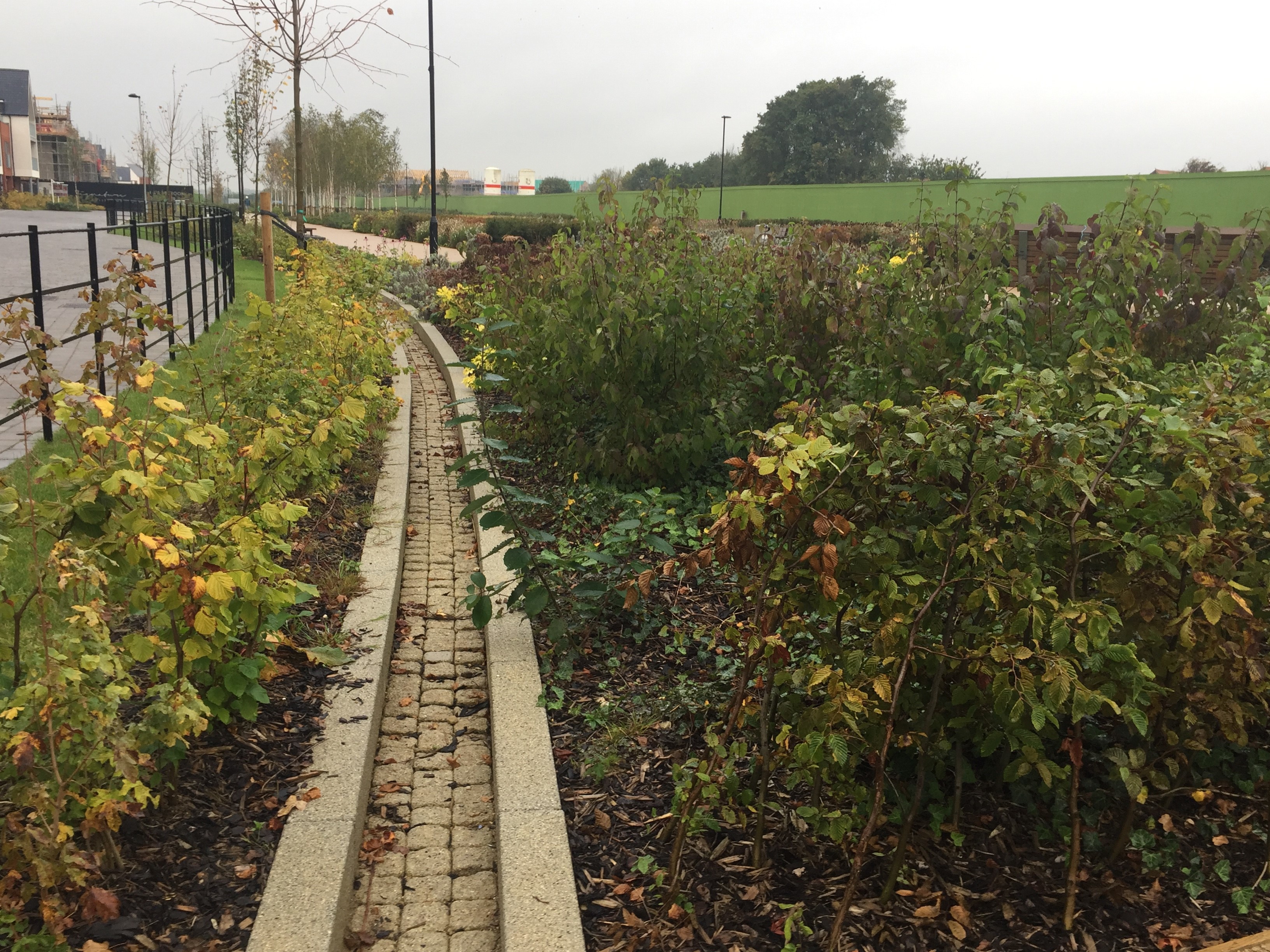
This type of mitigation, like balancing ponds and swales, is mainly used to contend with surface water flooding. Much like swales, they allow water to flow away rather than just sitting, but they have hard edges and often have crossings built over them, so they are often found close to town and city centres. A well-designed rill can be beautiful and bring biodiversity to an area. They can be very useful for treating pollution, removing silt and oil. There are rills in the Linear Park at Beaulieu, amongst other places in Chelmsford.
Rain gardens
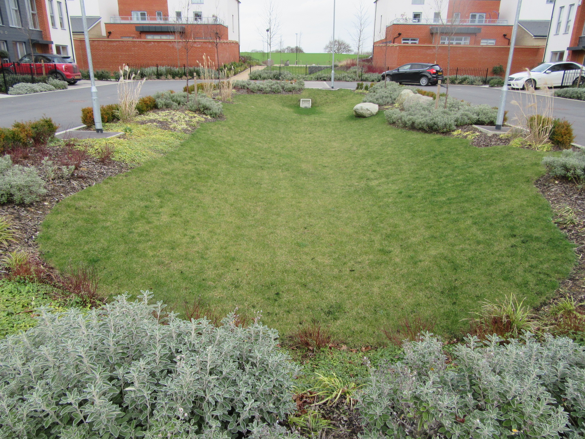
Looking similar to flowerbeds, these are small dug-out areas in the ground that collect water. They contain plants that grow well during periods of dry weather and with heavy rainfall. They are intended to be very attractive, and often create small areas of open space for people to look at or enjoy. You can see one in Armistice Avenue.
Reusing rainwater
Concerns about sustainability and drought mean that wherever possible, water should be reused. Harvesting rainwater and greywater is the best method to do this. Collected rainwater can be used for cleaning, irrigation, flushing toilets and more, so long as it's safe to do so and doesn't cause any contamination. Through the Local Plan consultation, the council is proposing to strengthen local planning policies to expect all new dwellings to provide rainwater harvesting on site to minimise overall water consumption and maximise its reuse.
Another option is soakaways, where water naturally drains into the soil. These must be far enough from buildings, roads and railways that they don't cause problems. In some instances, water runoff can be held in underground storage. This has been put in place under Tindal Square as part of recent improvements. They can't be used everywhere, but in the right places they are effective and can't be seen from above ground. Where this isn't possible, some or all of the water that can't be captured can be drained to an ordinary river or stream, although there are limits on this so that it doesn't result in flooding downstream. The least-preferred option is to send the water straight to a manmade drainage system or sewer.
Humans have been changing the natural flow of water for thousands of years, from Roman aqueducts to eighteenth-century canals. With modern awareness of the consequences of our actions, we can use city planning and development to reduce, rather than increase, the risk of flooding. Even land which currently has high flood risk can have that risk reduced so that it’s safe to build and live there, with careful consideration.
Find out more about Chelmsford's Local Plan and sign up for updates about future consultations at www.chelmsford.gov.uk/lp-review.

